‘Brace for impact’ — Forecasters warn El Niño to bring extreme weather to Ireland in coming months
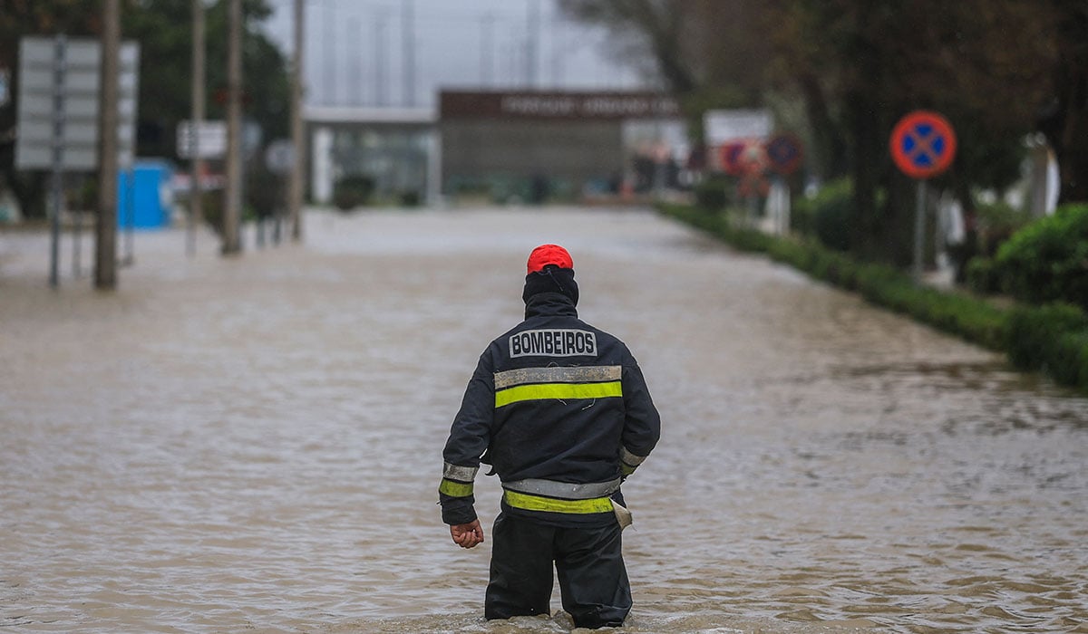
El Niño will quickly develop into a strong event between July and September, increasing the likelihood of heatwaves, droughts, and heavy rainfall.
The United Nations weather and climate agency issued the warning, which will almost certainly impact the Irish climate over the coming months.
The World Meteorological Organization said El Niño had already set in and would quickly gain strength, warning countries to brace for the impact.
El Niño is a natural climate phenomenon that warms surface temperatures in the central and eastern equatorial Pacific Ocean, bringing worldwide changes in winds, pressure, and rainfall patterns.

It typically takes place every two to seven years and lasts around nine to 12 months.
Conditions oscillate between El Niño and its opposite La Niña, with neutral conditions in between.
The WMO’s monthly Global Seasonal Climate Update points towards ‘a rapid development into a strong El Niño event during July-September’.
The UN agency classifies El Niño events as weak, moderate, strong, or very strong, meaning it is set to reach the third-highest level out of four.
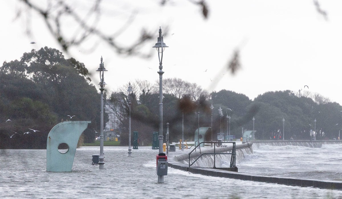
‘El Niño conditions have developed in the tropical Pacific and are forecast to strengthen rapidly over the coming months, increasing the likelihood of… extreme weather events in many parts of the world,’ the WMO said.
The Geneva-based agency said that forecasts produced by leading global climate centres, using different models, indicate a consistent and significant warming of ocean temperatures across the central and eastern equatorial Pacific.
‘Seasonal-average sea-surface temperature anomalies expected to exceed 2C in key monitoring regions,’ it said.
The models show ‘remarkable agreement, providing high confidence in the outlook’, the WMO said.
‘El Niño is expected to continue strengthening during the Northern Hemisphere autumn, with its influence extending across many regions of the globe.
‘Meanwhile, the equatorial Atlantic basin is expected to remain generally warmer than average.’
The last El Niño contributed to making 2023 the second-hottest year on record and 2024 the all-time high at around 1.55C above the 1850-1900 pre-industrial average.
While El Niño usually peaks between November and February, the resulting spike in temperatures typically comes later down the line.
‘El Niño conditions are already underway and are forecast to strengthen rapidly into a strong event,’ said WMO chief Celeste Saulo.
‘This will intensify the chances of drought and heavy rainfall and the risk of heatwaves on land and marine heatwaves in many regions.’
The update predicts an overwhelming likelihood of above-average temperatures across most land areas between 60 degrees south and 60 degrees north – covering nearly all populated areas outside the polar regions.
Ireland sits between 51.5° and 55.5° north latitude.