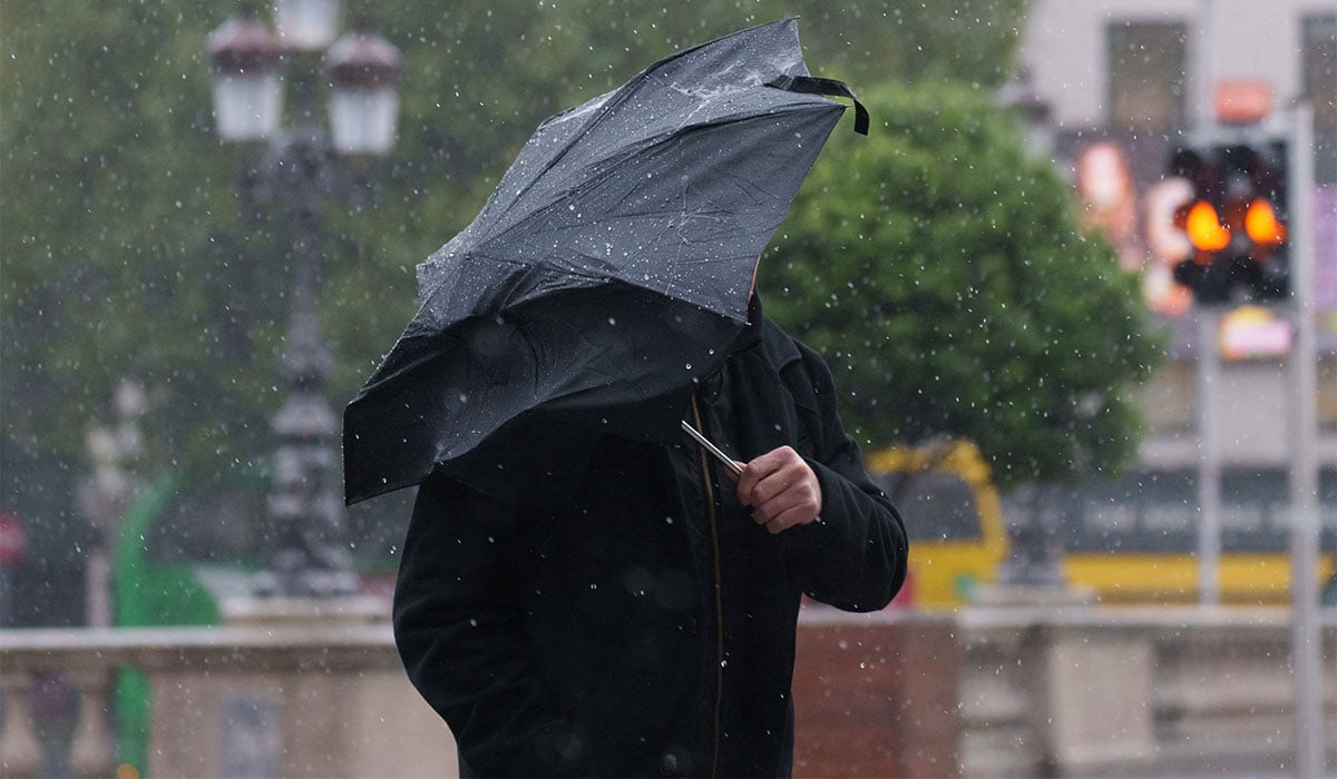

Met Éireann’s latest extended forecast has suggested that Ireland could be in for a very difficult start to winter, with warnings already arriving for wetter-than-usual conditions.
The possibility of wintry hazards is growing as the country progresses through September, with November looking set to be exceptionally wet.
The long-range forecast has shown that November is going to face well above average levels of rain, though temperatures are predicted to stay largely milder than usual throughout autumn and the early winter months.

However, Met Éireann has warned that colder conditions are still very possible, with some traditional winter difficulties ahead.
The national forecaster’s outlook has suggested that the south of the country will likely face the brunt of this rain bomb, which may lead to waterlogged terrain and an increased danger of flooding in certain areas.
Meanwhile, temperatures are projected to remain around 0.5C to 1C higher than normal throughout October, November and December.
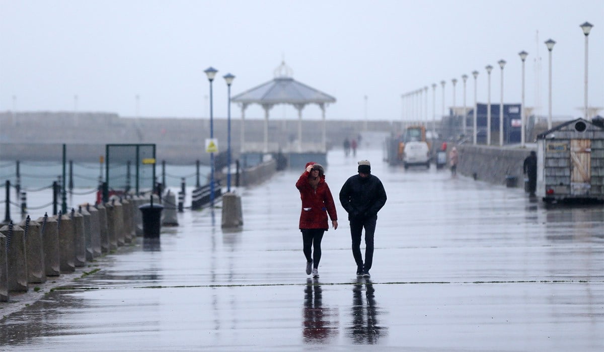
The door remains open for chillier conditions to break through and bring wintry hazards, though it doesn’t look like snow or a significant freeze is on the horizon.
However, Met Éireann has emphasised that long-range forecasts are generally less accurate than those spanning the next 10 days, due to atmospheric conditions becoming increasingly difficult to predict further ahead.
For the start of October, the forecaster said: ‘The precipitation outlook for this period leans slightly towards wetter than average conditions, while temperatures are expected to be close to or above the seasonal norm.’
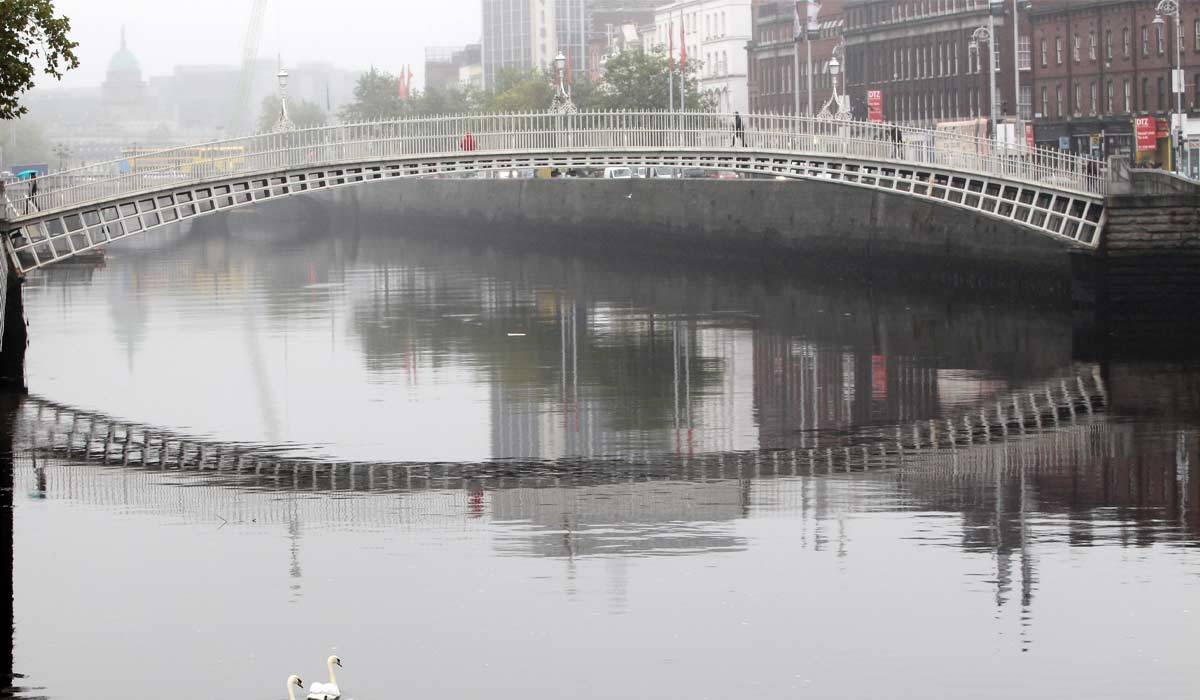
Met Éireann added: ‘The C3S seasonal models are signalling above average temperatures for Ireland throughout the OND (October, November, December) period. Rainfall totals are similarly expected to trend above average, with a strong indication of wet and unsettled spells during OND…
‘The rainfall outlook for OND points towards the likelihood of above average precipitation throughout the period, particularly across the south. November carries the strongest signal for wetter than average conditions.
‘Sea surface temperatures around the Irish coastline are anticipated to remain above average during OND, generally trending between 0.2C and 1C higher than normal.’