Is summer ever going to arrive? The latest forecast for the country revealed
There are rumblings of a break in the weather one minute, and the next minute, we are told that summer is on its way.
The latest post from The Donegal Weather Channel says warmer conditions are on the horizon, but is it really time to put away the jumpers and jackets, and take out the BBQ?
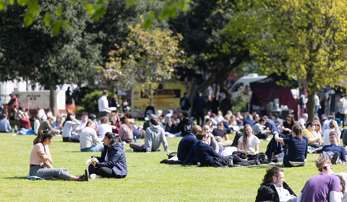
According to the latest social media post, the weather is set to pick up nicely by the end of May.

There are signs of a high-pressure system building over Ireland around the third week and towards the last week of May.
This could lead to airflow from the east to northeast, pushing temperatures into the mid-20s.
Kenneth from the Donegal Weather Channel is questioning whether this trend will continue.

He says we may have to wait a few days for verification, and if this does develop, then the timeframe for this warmer spell is expected to develop at some stage between the 3rd week of May and the bank holiday weekend at the end of May into early June.
Something to be hopeful for and look forward to, perhaps?
Met Éireann’s forecast for the coming week to ten days says the weather will become more unsettled and will remain cool into Mid-May.
☀️ POTENTIALLY SOMETHING WARMER ON THE HORIZON 🔥
☀️ I’ve been keeping a close watch on the longer-range weather models for the past few weeks. As I mentioned in last week’s update, there are indications of warmer conditions developing from late May into early June. The ECMWF… pic.twitter.com/SiR8ncMToR
— Donegal Weather Channel (@DonegalWeatherC) May 12, 2026
Scattered showers on Wednesday night will ease early on, becoming confined to the North and Northwest of the country, and temperatures will hover between 4 and 9 degrees.
Continuing that way until Sunday at least, with showers, merging into heavy rain, and staying cool, even feeling cold, with temperatures not rising above 13 to 16 degrees during the day and down to around 4 degrees at night.