The heatwave may be over – but Irish summer has one more trick up its sleeve
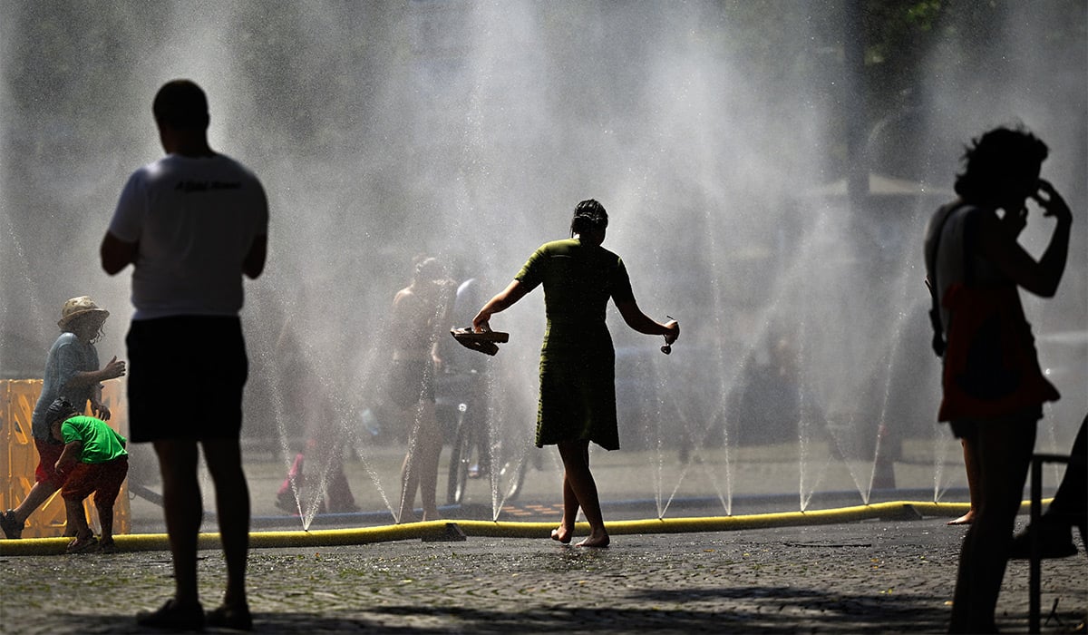
Ireland has returned to its typical cooler weather after a sweltering heatwave tore through Europe over the past couple of weeks.
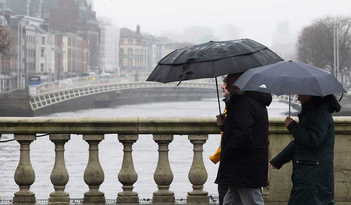
While many people will be pleased about a break from the record-breaking temperatures, July is unfortunately not getting off to a bright start.
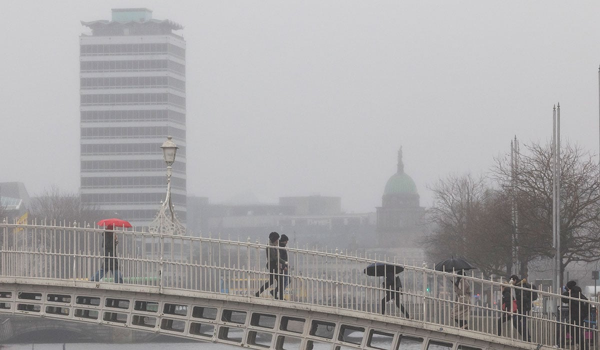
Wednesday morning will see isolated showers across the east of the country, with some sunny spells in certain areas, before rain and drizzle develop in the west.
The gloomy conditions will spread across the country throughout the day, with the afternoon seeing plenty of cloud, drizzle, mist and hill fog.
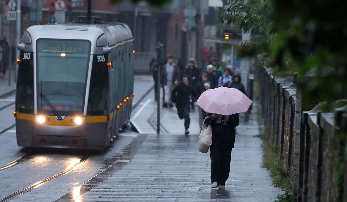
During the evening, bouts of rain and gusty winds are set to move in from the northwest. Temperatures will range from 15C to 21C.
For Wednesday night, Met Éireann said: ‘Cloudy at first tonight with rain and drizzle, becoming patchier as it gradually clears eastwards with some clear spells developing later. Lowest temperatures of 10C to 14C as fresh and gusty southwest to west winds ease through the night.’
Thursday is expected to be a drier day, with a mix of clouds and sunny spells. There will be a few showers, mainly in the northwest.
Temperatures will be quite similar to Wednesday, with lighter winds also becoming stronger along the northern coasts.
The national forecaster continued: ‘Cloud will build through the night with a few spots of light rain or drizzle developing but staying dry and mostly clear in the south and east. Lowest temperatures of 9C to 13C.’
There will be ‘limited sunny spells’ on Friday in another cloudy day, with some light rain and drizzle at times. Temperatures may reach as high as 24C in southeastern areas.
It will be ‘mild and humid’ later that night, though it will also be generally cloudy with patchy rain and drizzle.
For the weekend, Met Éireann added: ‘Indications are for largely cloudy days with patchy rain and drizzle, most frequent in the northwest where it will be coolest. The best of the sunny spells will be in the south and east where it will be warmest…
However, all is not lost as there is good news on the horizon.
Met Éireann have confirmed that the week ahead will be mixed with rain or showers at times, though ‘decent dry periods’ will also occur.
‘High temperatures ranging from high teens to low twenties,’ they confirmed.
Kenneth of the Donegal Weather Channel took to X revealing that ‘very warm air’ looked to be moving up in the first two weeks of July according to the GFS weather model.
‘A few other models also are hinting at another hot spell of weather,’ he added, ‘This particular run from the GFS is very hot with temperatures into the 30s again.
‘A hot plume like this into July would also be much warmer than May or June.’
The weather expert added that it also posed a risk of thunderstorms ‘particularly when we have a breakdown in the warm air.’
The 12Z Gfs model run this evening also showing very warm air moving up during the 1st and 2nd week of July from around the 6th up until the 14th. A few other models also are hinting at another hot spell of weather. This particular run from the GFS is very hot with temperatures… pic.twitter.com/PjPSIwVLgt— Donegal Weather Channel (@DonegalWeatherC) June 27, 2026