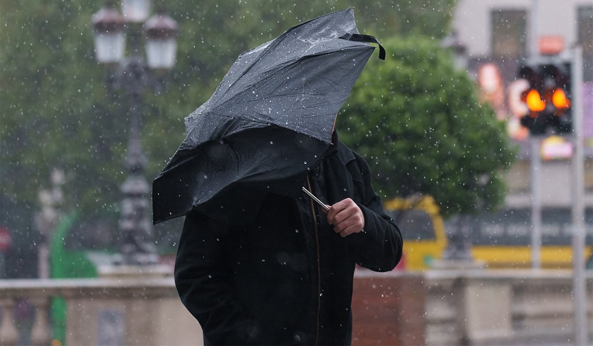

Irish people have been warned to brace for even more downpours as forecasters warn that the country will see more thunderstorms throughout the day.
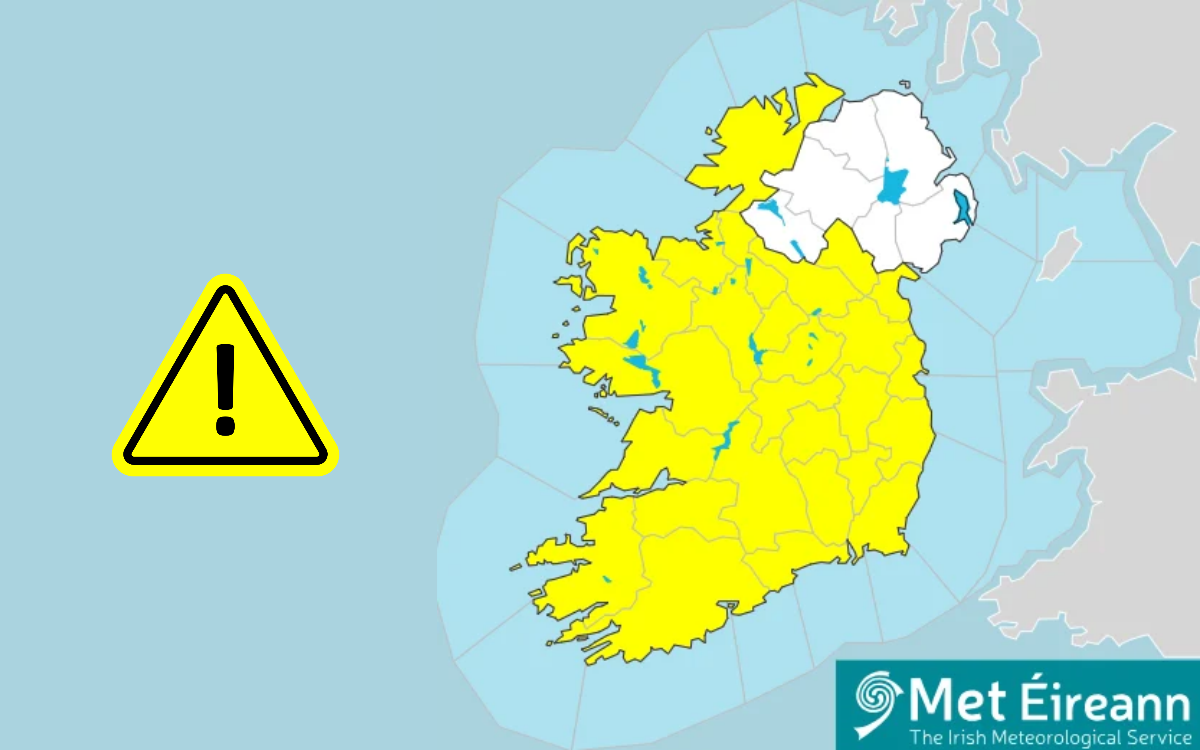
Following on from Tuesday’s eight-hour yellow wind alert, which went into effect for Cork, Clare, Kerry, Limerick and Waterford, thousands of homes were left without power.
The horrific conditions also saw fallen trees blocking roads and various coastal paths overtopped by waves.

However, Met Éireann is now stressing that the wild conditions are set to continue throughout much of Wednesday, likely only clearing into the evening and on Thursday morning.
The national forecaster warned that while Wednesday will be a ‘bright day’ with a ‘mix of sunny spells and showers’, some parts of the country will continue to see thunderstorms.
Met Éireann said: ‘Some of the showers will be heavy with thunderstorms in the southern half of the country at first and isolated thunderstorms elsewhere later.

These conditions are set to ease throughout the day with forecasters predicting ‘clear spells’ throughout the evening.
This will fully set in on Thursday morning, which will be ‘mainly dry with sunny spells’.

Tuesday’s conditions saw as many as 16,000 premises left without power as of Wednesday morning, according to Carlow Weather.
The heavy downpours and high-speed winds also caused fallen trees to block roads.
Some reports indicated that power lines had come down as a result of the horrific conditions, with Dublin Fire Brigade responding to an incident on the Malahide Road.

‘A falling tree took down power lines which then landed on a car,’ they shared.
‘Power is out in the area. The road is fully closed. We’ve requested the assistance of ESB Networks and Gardaí,’ a statement read.
It is understood that ESB is continuing to work towards restoring power to those who lost it following yesterday’s winds, which reached as high as 110km/h in some parts of the country.
Sharing a video from another fallen tree in Carlow, Alan O’Reilly from Carlow Weather shared on X that while Tuesday brought torrential downpours, people can expect ‘calmer’ conditions today with ‘scattered showers’ and winds that are ‘still very breezy’.
A calmer Wednesday morning but still almost 16k premises without power. A large number of trees down yesterday including parts of this one in Carlow that Mike caught on his dashcam. A mix of sunny spells and scattered showers today and still very breezy. pic.twitter.com/dvlsaqxT5a
— Carlow Weather (@CarlowWeather) September 30, 2026
Looking ahead to this weekend, forecasters have predicted that the worst of the bad weather will be behind us. Friday is set to bring ‘bright or sunny spells’ with only ‘some possibly heavy’ bouts of rain.
According to Met Éireann: ‘Saturday will be mainly dry with bright or sunny spells, the best of these over Munster and Leinster.’ Highest temperatures are set to be between 15 and 18C.
Sunday is expected to be much darker with clouds and showery rain forming in the west and north, moving their way southeastwards throughout the day.
However, highest temperatures are still expected to be between 15 and 19C, with only ‘moderate’ winds predicted throughout the day.