

If you were hoping the bank holiday weekend would bring a repeat of last week’s record-breaking heatwave, you need only look out the window for disappointment.
Just days after Ireland recorded its hottest May on record, with Shannon Airport hitting 30.6°C on Tuesday, the country is back to what forecaster Gerry Murphy called ‘a typical mix of Irish weather.’
Today brings a mix of cloud and some sunny spells with well-scattered light showers, before rain and drizzle spreads nationwide tonight, turning heavy at times, especially across southern counties.

Temperatures will reach just 15 to 20 degrees, a far cry from the 31°C of last Wednesday.
Bank holiday Monday looks worse as Met Éireann say it will begin dull and wet with further outbreaks of rain, giving way to heavy showers in the afternoon, with highs of just 15 to 19 degrees.
And the outlook for the rest of the week isn’t much better.
Met Éireann’s national forecast warns of ‘unsettled’ conditions continuing through to next weekend, with rain or showers every day, brisk southwest winds, and temperatures described as ‘cooler than average for early summer.’
Thursday looks particularly grim, with highs of just 13 to 17 degrees and fresh, gusty winds.
But when does the good weather come back?
Climate scientist Cathal Nolan, founder of Ireland’s Weather Channel, believes the wait won’t be as long as you’d fear.
He has identified June 10 as the date when ‘summer-like conditions’ are expected to return, with bright sunshine and warm temperatures.
However, Met Éireann’s extended outlook does not yet confirm this, noting only that unsettled weather is likely to continue into the first full week of June.
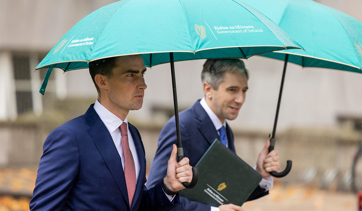
For now, keep the umbrella close.