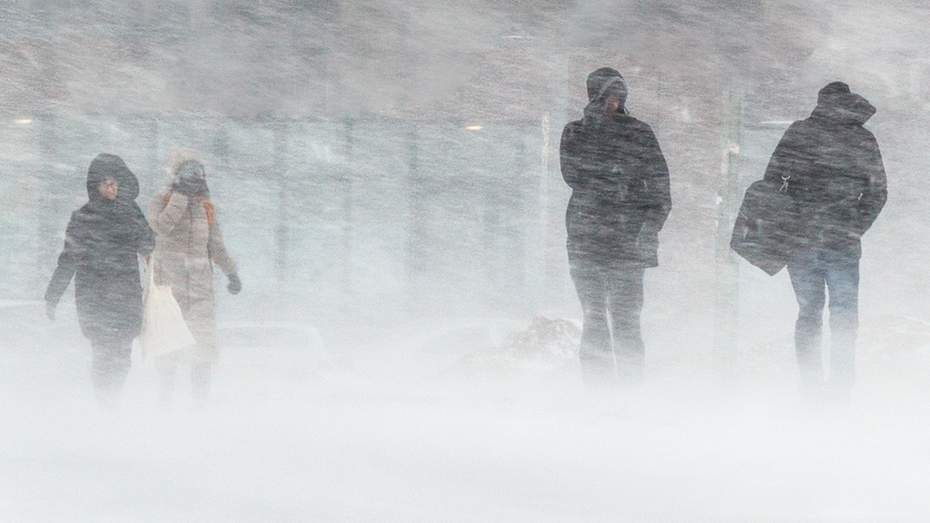

Seven counties including Waterford are in store for heavy rain and strong winds, while Donegal is expected to be hit by snow.
Forecasters also warned of the prospect of “cyclonic” winds along the south coast on Thursday.
Travelling conditions in the affected parts of the country are expected to be hampered by localised flooding and gusty winds.

Alan O’Reilly of Carlow Weather said heavy rain was expected to sweep across the west of the country.
‘Over 40mm possible on high ground in parts of the West and especially Southwest in 24 hours up to Tuesday morning,’ he wrote on X.
He also warned areas of Cork could be facing flooding from the torrential downpours.
‘Glengarriff one station to watch with risk of local flooding,’ he noted.
Donegal is among the counties hardest hit, with the county facing a Status Yellow wind and rain warning from 7pm on Monday until 4am on Tuesday.
Met Éireann is forecasting spells of heavy rain accompanied by strong and gusty southeasterly winds. However, the prospect of wintry conditions on higher ground is also significant, with sleet or snow possible as the rain moves northwards.

The warning highlights the potential for difficult travelling conditions, localised flooding and debris or loose objects being displaced by the winds.
While snowfall is not expected to be widespread across the country, there is a real possibility of snow in Donegal’s hill.
Motorists are being urged to exercise caution, especially in exposed areas and on higher routes where visibility and road conditions could deteriorate.
The latest warnings extend beyond Donegal, with Cork, Kerry and Waterford under Status Yellow alerts from 1pm on Monday until midnight.
Galway, Mayo and Sligo are also facing warnings, which will come into effect at 3pm and remain in place until 4am on Tuesday.
Heavy rain is expected to spread northeastwards from the southwest during Monday afternoon and evening, accompanied by strong southeasterly winds.
The combination of rainfall and gusty conditions could lead to localised flooding, poor visibility and hazardous journeys, particularly during the evening commute.
Thursday is expected to be mostly cloudy, with outbreaks of rain in parts of the country. Forecasters have specifically mentioned that moderate east to northeasterly winds will become “cyclonic” along the south coast.
The term refers to winds associated with a low-pressure system, where the airflow circulates the depression. The forecast suggests a change in wind direction and pattern as the week progresses.
Despite the unsettled conditions, there are signs of a temporary improvement later in the week. Friday is expected to be mostly dry, with sunny spells and lighter winds, although frost could develop overnight in northern areas.