

The sizzling summer has come to an end, with wet weather on the way this week and warnings of thunderstorms for northern counties.
A Yellow rain warning for Waterford, Wicklow and Wexford was in place until midnight on Monday, while a thunderstorm warning was in place for Cork, Limerick and Tipperary.
Met Éireann said the week ahead will bring cool and unseasonably breezy weather on Wednesday and will be wet, too, in Ulster.

Well-scattered showers will follow on Thursday and Friday, with more widespread showers this weekend.
The damp and windy start to August follows a record-breaking July, which saw lengthy heatwaves, tropical nights and drought conditions across most of the country.
A hosepipe ban remains in place until August 26 unless water levels return to normal before then.
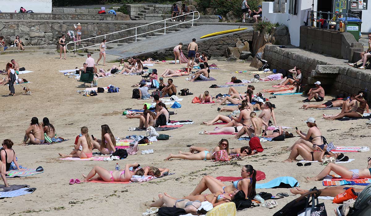
Tuesday, after a mostly cloudy and misty start, sunny spells will gradually develop along with scattered showers. Some of the showers will be heavy and thundery, especially over parts of Connacht and Ulster.
The Met Office has issued a Yellow warning for thunderstorms between noon and 9pm on Tuesday across all six counties in the North. It will continue to be humid with highest temperatures of 18C to 23C.
On Tuesday night, it will become mainly dry for a time as showers become isolated. It will be cooler and rather windy tomorrow.
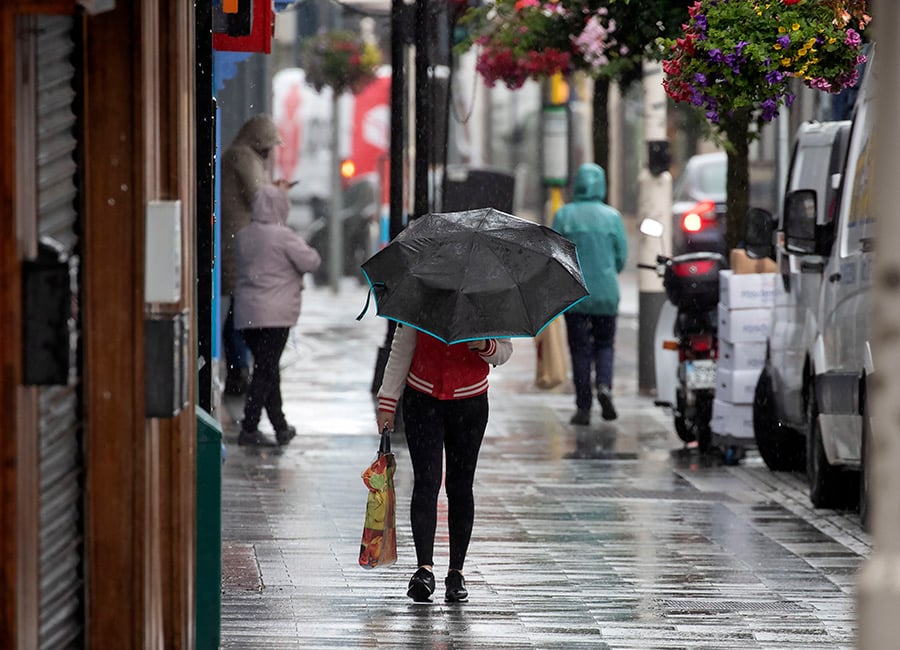
It will be damp and unseasonably blustery with outbreaks of rain and drizzle affecting Ulster and mainly northern parts of Connacht and Leinster, accompanied by fresh to strong and gusty westerly winds.
The rain will be heaviest in west and north Ulster. There will be brighter and drier conditions further south, with a mix of sunny spells and scattered showers.
It will be similar on Thursday and Friday, while the weekend looks set to bring unsettled conditions.