

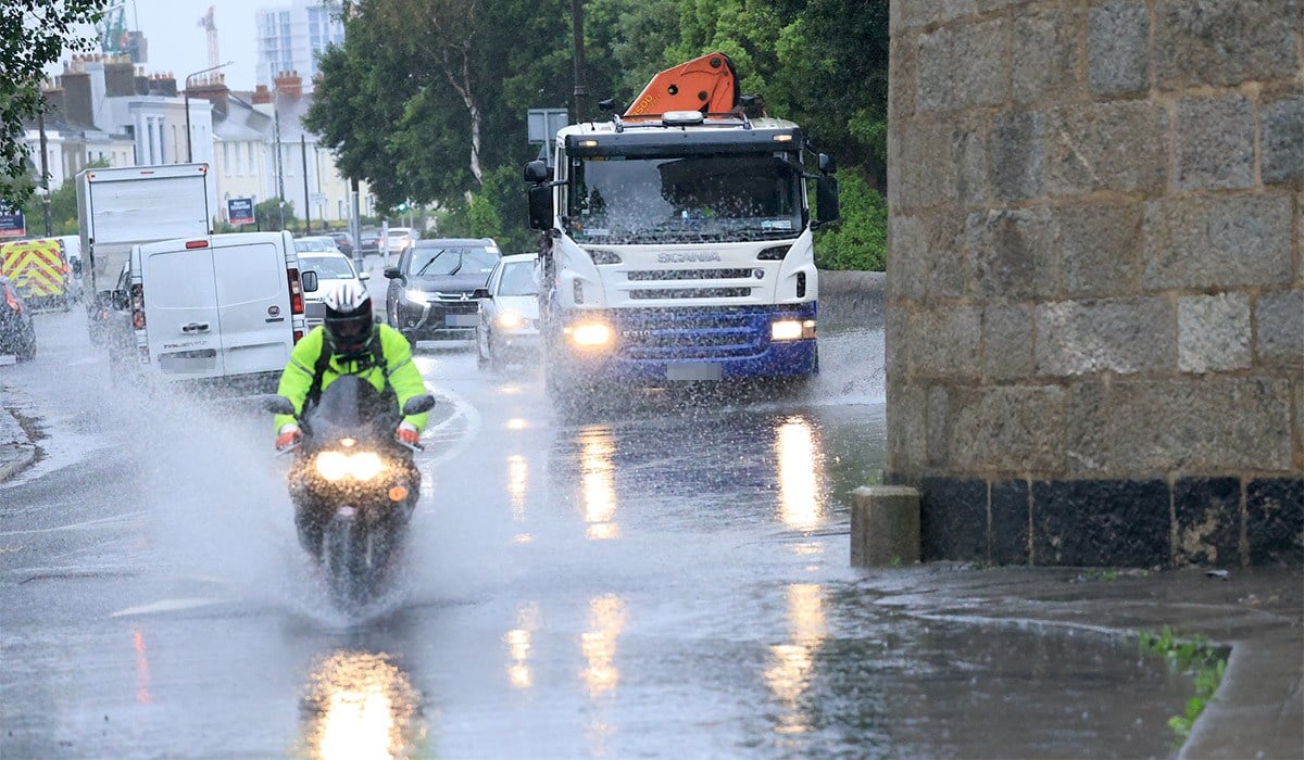
Met Éireann has warned back to school week will see unsettled weather as heavy rain batters many parts of the country.
Most counties will enjoy a dry and largely sunny Monday with temperatures ranging from 15C to 18C, though showery rain will move into the west and northwest in the afternoon and evening.
The east and south will be hit with showers across Monday night, with mist and fog developing in some areas.
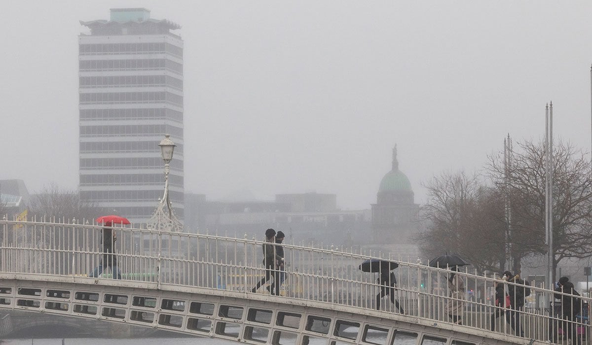
Tuesday will also enjoy some bright and sunny spells early on in the east and south, before becoming a generally cloudy day with scattered outbreaks of rain and drizzle, turning heavy in parts of the north.
Humidity will hit on a wet and windy Tuesday night, with strong gusts developing on the west coast.
Met Éireann continued: ‘A breezy (Wednesday) with cloud and rain clearing northeastwards in the morning and early afternoon. A mix of sunny spells and scattered showers following from the southwest. Warmer than previous days with highest temperatures of 18C to 22C, with moderate to fresh southwesterly winds.
‘Some bright or sunny spells and a few showers for Thursday before wet weather becomes widespread from the Atlantic later in the day or overnight. Highest temperatures 17C to 21C in moderate to fresh southwest winds, easing later.’
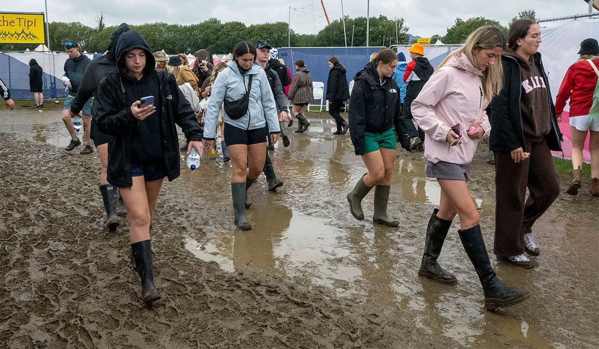
The forecast follows a weekend of thunderstorm warnings and heavy rain, largely affecting the 80,000 festival-goers who descended on Stradbally for Electric Picnic.
However, Carlow Weather reported that Kells in Meath saw a particularly intense thunderstorm on Sunday afternoon, with an unusual weather event spotted nearby.
Alan O’Reilly reposted a video on his Facebook page of a ‘possible funnel cloud near Kells’, giving off an eerie tornado-style appearance.
Funnel clouds spin in the air below a storm, only becoming a tornado if they touch the ground, though they typically only last a few minutes.
For later in the week, Met Éireann added: ‘Current indications suggest it will remain unsettled into next weekend and it will turn a bit cooler and fresher too.’