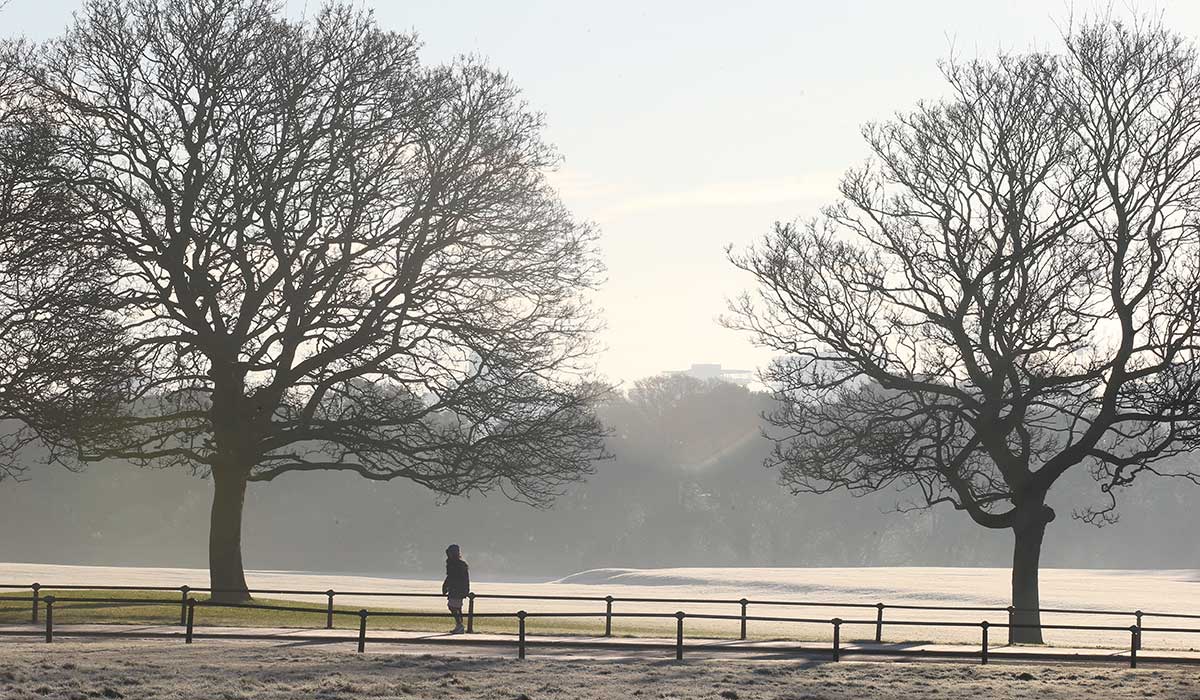

Met Éireann has warned that a ‘mini freeze’ is on the way, as temperatures are set to plummet into the negatives.
While things are certainly cooling down and the days are getting shorter, we thankfully haven’t seen a ‘big freeze’ that’s expected as we head to the festive season.
While we aren’t expecting any snow any time soon, Met Éireann has warned that a ‘mini-freeze’ will see temperatures drop into the negatives for the first time this season.
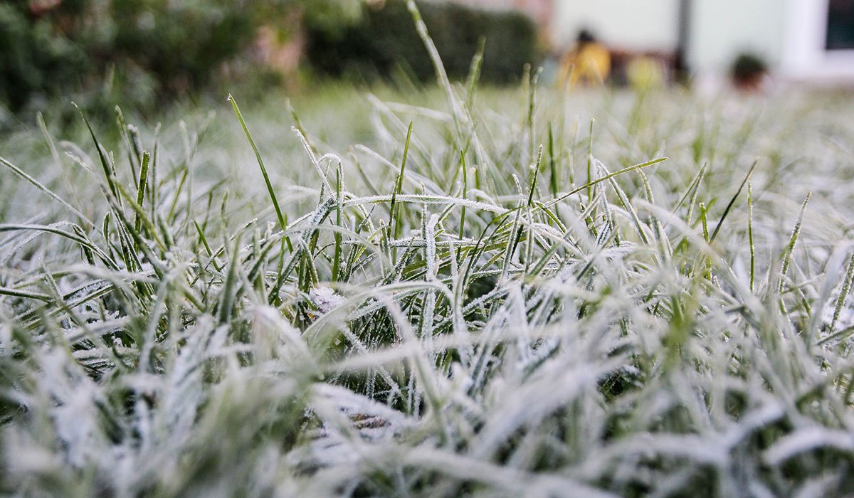
The freeze has been forewarned by Twitter (X) account Weather Alerts Ireland, who warned that temperatures could reach -3C regionally, and going as low as -7C locally as an Arctic air mass pushes down from the north.
‘A cold few days coming up as cold Arctic air pushes down from the north. High pressure is expected to move close to Ireland allowing that colder air to push over,’ Weather Alerts Ireland wrote.
‘Temperatures overnight will be down to -1 or -2C as that cold air pushes south. [Thursday] will be a very cold day with temperatures struggling to reach 9C with many areas reaching 6-8C.’
‘[Thursday] night into Friday morning will see temperatures drop as low as -4 or -5C with the high resolution UKMO model going as low as -6 or even -7C locally. Another cold day Friday and freezing again Friday night before cloud and warmer air push in overnight into the weekend.’
Those low temperatures have been reiterated by Met Éireann, who said that Thursday will be mainly dry, bright and cool with plenty of sunshine, save for a few isolated showers in the north and northwest. Highest temperatures of 6C to 10C.
Thursday night will be a cold one, while clear spells and dry conditions will allow a sharp frost to develop with some icy patches. There will be a bit more cloud in the north and northwest, and perhaps a few light showers. It will be a cold one, however, as temperatures plummet to lows of -3C to +1C.
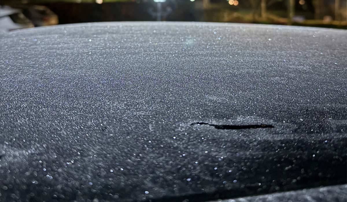
Friday will start off cold and frosty, as icy patches develop in places. The frost will gradually clear, leading to mainly dry conditions with bright or sunny spells; the best of which will be in the morning and early afternoon. Becoming cloudier from the west and leading to a few isolated showers, and highest temperatures won’t exceed 5C to 9C.
Friday night will be mainly dry with some clear spells, but cloud will continue to develop and lead to outbreaks of rain and drizzle along the west coast.
Saturday will be mostly cloudy, and although it will be mainly dry, some patchy rain will develop in the west and south. It will be milder than on Thursday and Friday, however, as temperatures reach highs of 8C to 11C. Temperatures will drop to lows of 5C to 8C on Saturday night.
Sunday will be a wet one, with rain in all areas. Highest temperatures of 6C to 9C over the northern half of the country, and from 9C to 12C further south. The rain will gradually ease to the east, but it will be cold; lowest temperatures of 1C to 5C.
Monday will be mainly dry with some sunny spells developing, and highest temperatures of 6C to 10C. However, Monday night will be another cold one, leading to rain and frost developing. Lowest temperatures of -1C to +4C.
Current indications suggest that Tuesday will be wet with spells of rain, while Wednesday will see showers following.