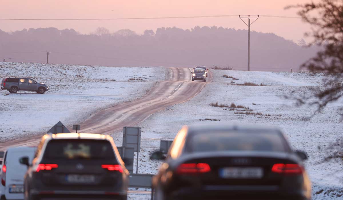

Ireland could be headed for a white winter, as Met Éireann warns of an ‘unpredictable’ winter that could bring snow and sub-zero temperatures.
While Met Éireann’s extended forecast has predicted temperatures to remain above-average through December, it also acknowledges a high degree of unpredictability due to the polar vortex.
A polar vortex forms every autumn, causing temperatures to fall in the Arctic and having heavy knock-on effects across the globe.
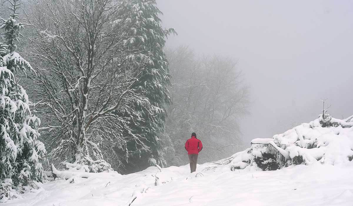
Met Éireann has stressed that temperatures could be up to 1C higher than usual throughout November and December but warned that cold spells remain very likely as the polar vortex moves in.
The extended forecast has shown that the weather for December remains ‘unpredictable’ with the polar vortex possibly bringing snow and sub-zero temperatures.
A developing atmospheric pattern over the Arctic adds to this uncertainty, increasing the risk of hazardous winter conditions.
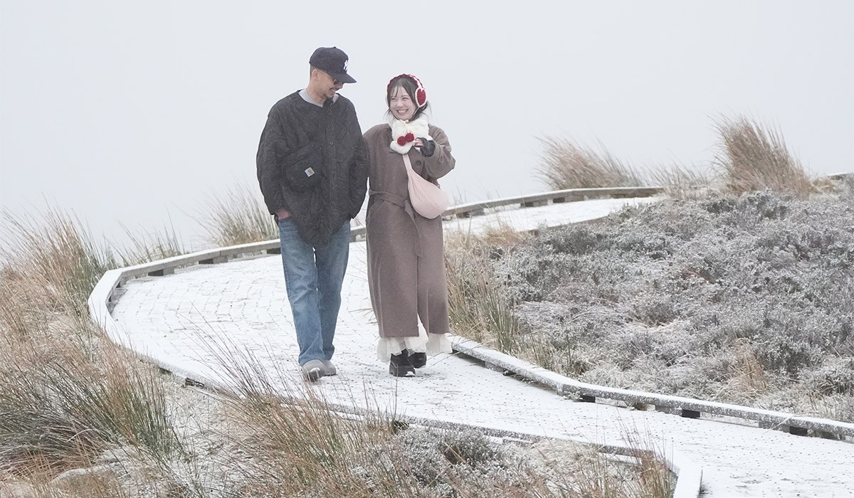
Meteorologists are now monitoring the possibility of further disruption to the stratospheric polar vortex, a large circulation of strong winds high above the Arctic.
This comes as the UK Met Office highlights the unusual disturbance in the stratosphere.
It stressed that if changes in the Arctic continue to influence weather patterns, the UK and Ireland could face widespread frost, sub-zero temperatures and nationwide snowfall.
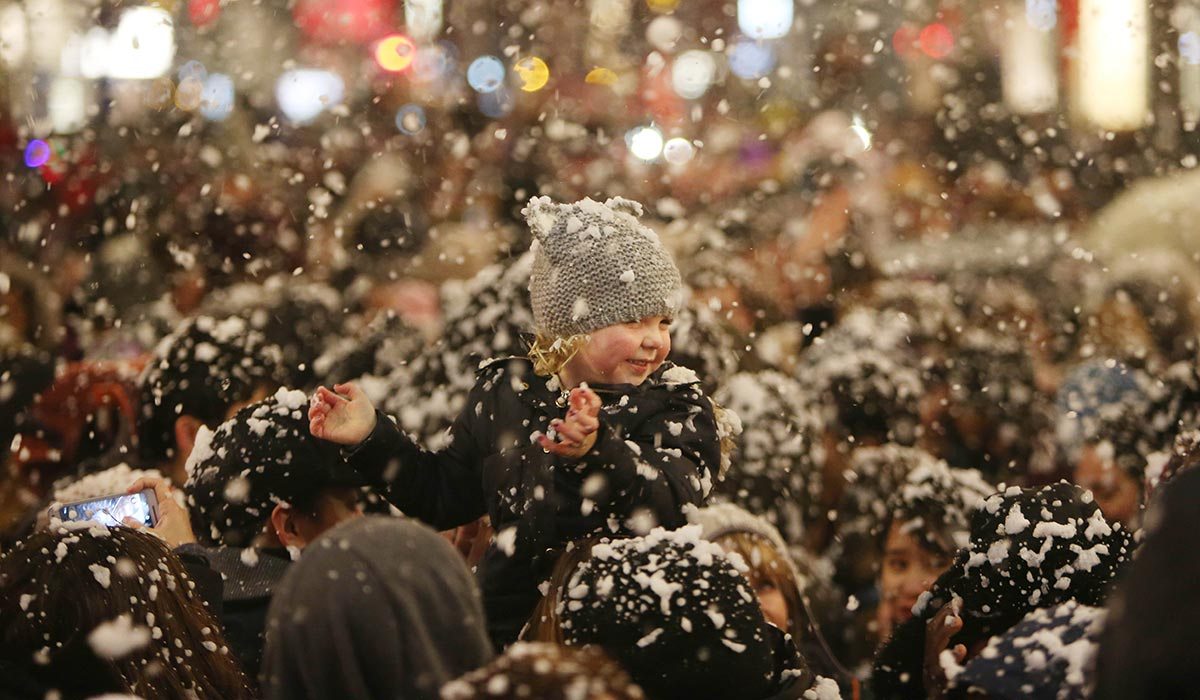
So for those wondering if Ireland will get a White Christmas, the answer remains unclear.
Met Éireann has explained that it will depend on how weather systems develop over the Atlantic and northern Europe, with colder winds possibly bringing low temperatures to Ireland. If this cold air then meets weather systems bringing rain or moisture, there is a high likelihood of snowfall.
A week-by-week look at Met Éireann’s extended forecast shows a high likelihood of rain in the final week of November and the early weeks of December, although it is still forecasting higher-than-average temperatures.
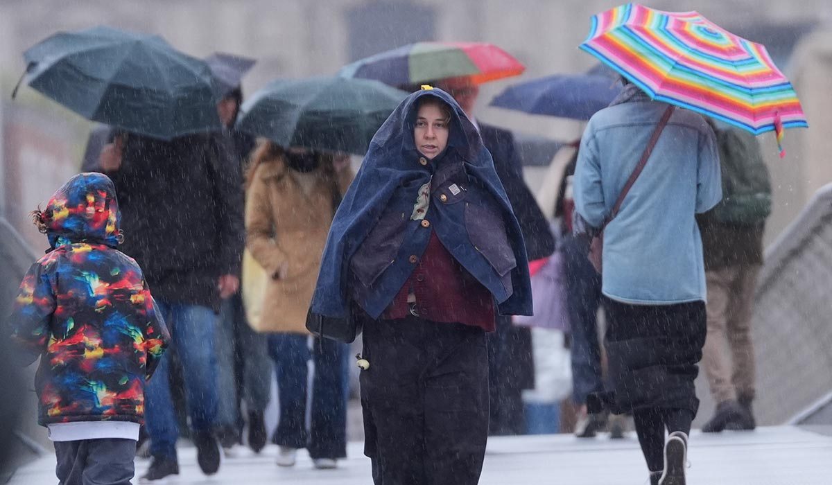
For the remainder of this week, temperatures will continue to be above average during the day, likely only dropping at night.
Thursday is set to be cloudy for the day, with showers that may turn heavy and even thundery. Temperatures are set to remain between 8 and 11C.
The rain and drizzle will mostly clear from the south on Friday, leading to a dry day with sunny spells and highest temperatures of 11C.
Saturday, however, will be cloudy with rain and drizzle lingering along the eastern coast. More persistent rain is set to move in throughout the day.
This will continue on Sunday. Temperatures are set to remain higher than usual on the weekend, ranging between 9 and 13C on Saturday and 7 to 12C on Sunday.