

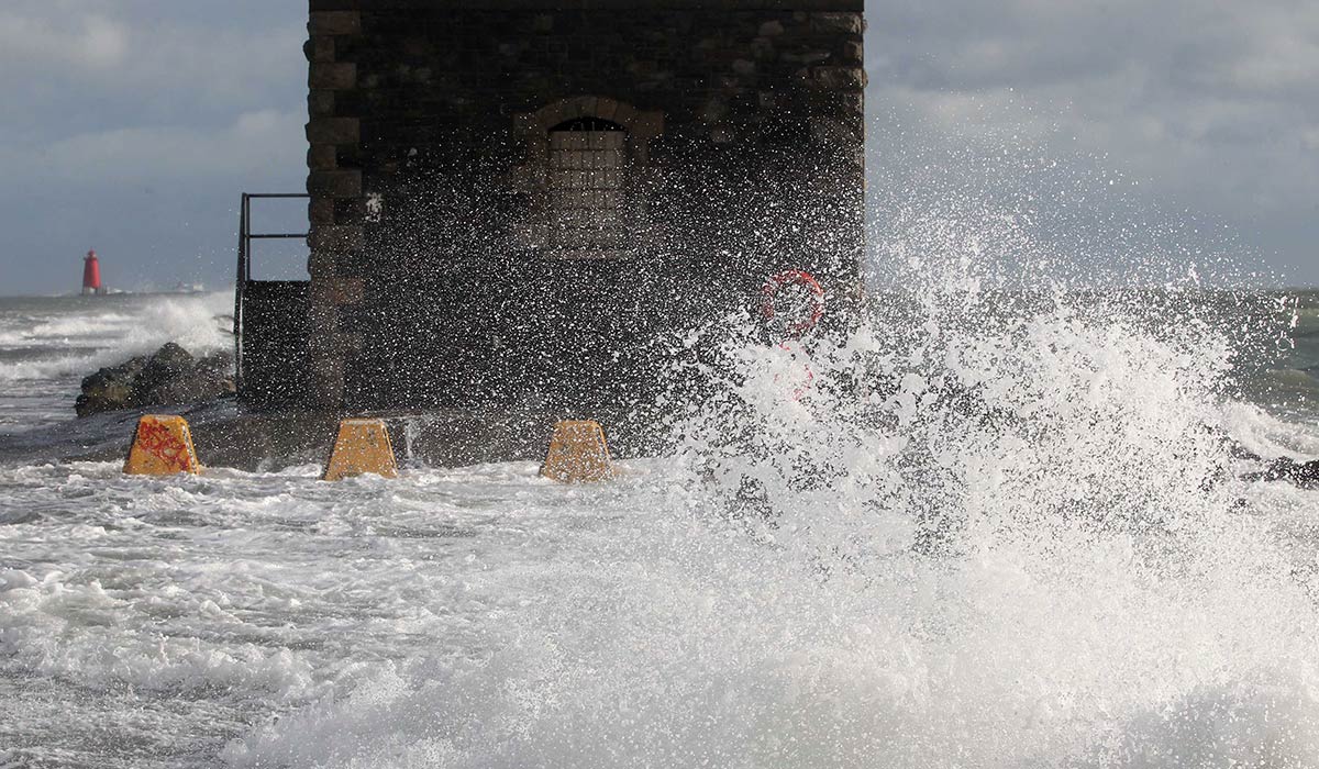
Met Eireann has issued a Status Yellow warning for heavy thundery rain, as the weather takes a distinctly autumnal turn this week.
The alert was issued on Monday morning and covers counties Wexford and Wicklow, though forecasters warned that more counties could be added as the day goes on.
It is valid from 5pm on Monday until midnight on Tuesday, with the national forecaster cautioning of possible spot flooding and difficult driving conditions.
‘Met Eireann have issued a yellow rainfall warning for Wexford and Wicklow this evening with risk of thundery downpours,’ Carlow Weather’s Alan O’Reilly wrote on X.
‘It feels like it has been a long time since we had a rainfall warning.’
Across the border, the UK Met Office has issued its own Status Yellow thunderstorm warning covering all six counties in Northern Ireland, active between 12pm and 9pm on Tuesday.
The warnings mark the start of an unsettled few days. After the thundery downpours ease, Tuesday night will turn drier for a time as showers become isolated, though fresh bursts of rain will push in off the Atlantic across western areas, with more persistent rain developing in the northwest before morning. Temperatures will dip to between 11 and 14 degrees.
Things turn cooler and windier still into midweek. Met Eireann says Wednesday will be damp and ‘unseasonably blustery’, with outbreaks of rain and drizzle across Ulster and northern parts of Connacht and Leinster, driven by fresh to strong and gusty westerly winds.
The heaviest rain is expected in west and north Ulster, where there is again a risk of spot flooding.
Further south, conditions will be brighter and drier, with a mix of sunny spells and scattered showers and highs of 14 to 19 degrees.
The rain will gradually ease overnight, becoming confined to western and northern coasts and leaving a mix of cloud and clear spells behind.