Four seasons in one day across Ireland as heatwave set to come crashing down

Different parts of Ireland appeared to experience all four seasons at once on Thursday, but things are finally set to cool down this weekend.
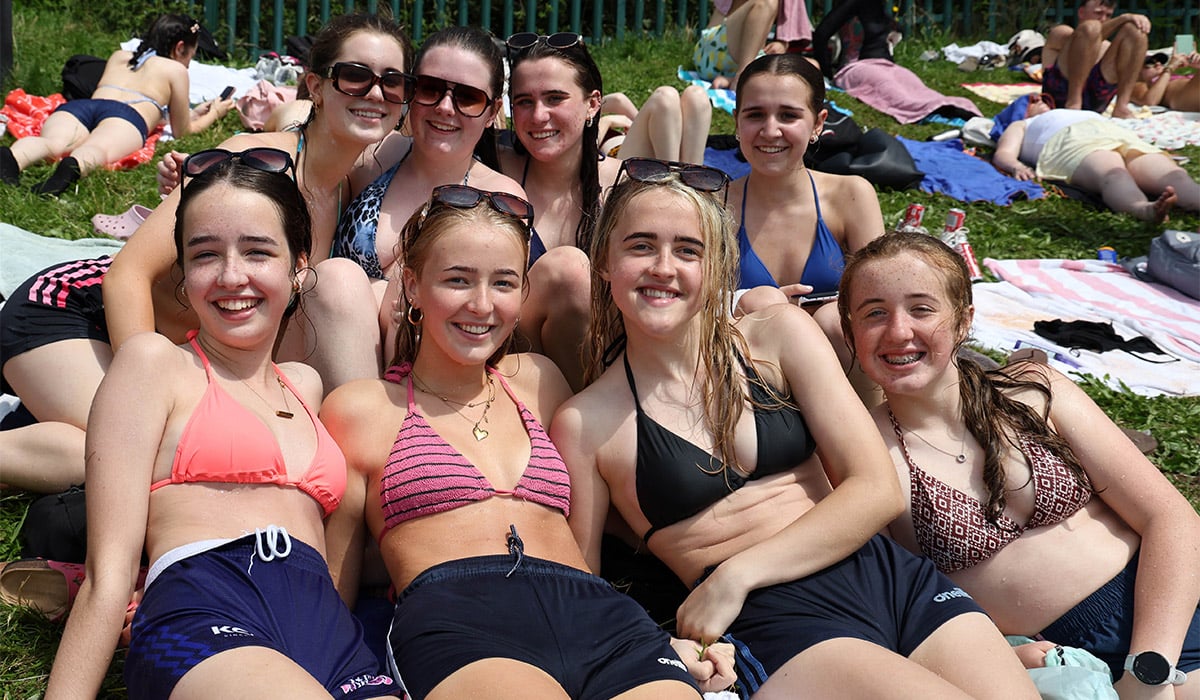
The hot and sunny weather turned the country into a pleasant paradise earlier this week before things became almost too hot on Thursday, as highs exceeded 30C in some spots.
While the temperatures soared to near dangerous levels, things took a huge turn in some parts of the country, with thunderstorms and torrential rain breaking out on Thursday evening.

While the thunder and lightning hit the south and west, in the midlands and the east, things became increasingly hot; with Alan O’Reilly posting on Twitter (X) that some parts of the country experienced a ‘tropical night.’
The tropical night meant that temperatures hadn’t fallen below 20C on Thursday night, while Mr O’Reilly added that Carlow were officially in a heatwave.
‘We officially have reached heatwave status in Carlow with 5 days over 25C,’ he wrote. ‘We also had a tropical night in Carlow where the temperature at Oak Park didn’t drop below 20C!’
Looking to the weather for the weekend, it appears that while things will remain hot on Friday, it will be breezier and cloudier than earlier this week.
It will be rather warm and humid again on Friday, with a mix of sunshine and scattered showers, turning heavy and thundery at times in the midlands, west and northwest, with the possibility of localised flooding. Highest temperatures of 23C to 29C.
The showers will die out on Friday night, with clear spells developing. Becoming cloudier later in the night, with patchy rain and drizzle developing in the south and west before extending across the country. Lowest temperatures of 14C to 17C.

Things will start to take a turn on Saturday, as it becomes overcast early on with scattered showers, some heavy, and southerly breezes. Highest temperatures of 19C to 23C.
Saturday night will be cloudy, with rain gradually clearing to a mix of showers and clear spells. Staying drier in the southeast, lowest temperatures of 11C to 15C.
Sunday will see a mix of sunny spells and scattered showers, with the best of any dry weather staying in the east early on. The showers will remain in the west and north at first, before spreading elsewhere in the afternoon and evening. Highest temperatures ranging from 15C in the west to 20C in the east.
Met Éireann has said that overall, we’ll see a gradual transition to less warm and humid conditions as Atlantic influences increase. As a result, we’ll see lower temperatures and more changeable conditions