

Conditions for the Bank Holiday weekend could turn wet and windy, if a long-term forecast is anything to go by.
The country has been enjoying milder weather over the past few days, although temperatures have remained cold, plummeting into the single digits and, in some cases, going below freezing.
But while many are starting to wrap up ahead of the winter bite, many are probably looking ahead to the Bank Holiday weekend — but if you have plans, it’s best to dress accordingly this Halloween.

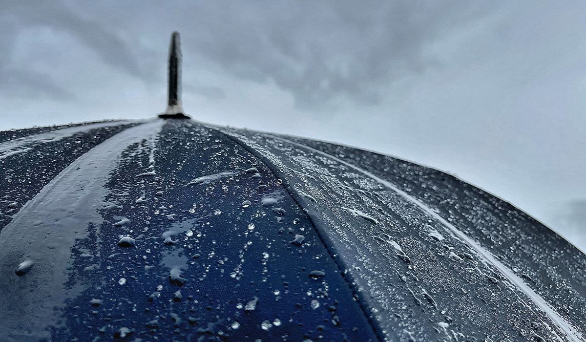
Taking to his Carlow Weather Twitter (X) account, Alan O’Reilly has written that while there’s still a lot of uncertainty, it’s looking like we’re in for a wet and windy three-day weekend.
‘Still a lot of uncertainty for the bank holiday weekend but some spells of wind and rain looking likely,’ Alan wrote. ‘Question is timing and intensity.’
Looking to the weather in and around the coming days, Met Éireann has said that any mist and fog patches will clear later this morning to leave a dry, bright and crisp day, although it’s expected to be cold as temperatures won’t exceed highs of 10C to 13C.
Still a lot of uncertainty for the bank holiday weekend but some spells of wind and rain looking likely. Question is timing and intensity. https://t.co/S765JeCHHS
— Carlow Weather (@CarlowWeather) October 17, 2026
Saturday night will be a cold one, too, as patches of fog and mist form under mostly clear skies in a light variable breeze. Lowest temperatures of -1C to +4C, while frost can be expected inland.
Sunday will start off cool, as any lingering mist and fog clears in the morning. It will be largely dry and sunny, however, but highs will reach just 10C to 13C.
Sunday night will be dry and crisp with mostly clear skies, but mist and fog patches will set in. Chilly, too, as lowest temperatures reach just 1C to 6C.
The week will start off bright and crisp for most of the country, as any mist or fog burns off early on. Showery outbreaks of rain and drizzle will be on the way, however, pushing in from the southeast across parts of Munster and Leinster. Further west and north will remain dry for most of the day, highest temperatures of 9C to 13C.
The showery spells will have all but died out come Monday night, as just light outbreaks of rain and drizzle linger for a time in the southeast early on. Remaining dry elsewhere, while lowest temperatures will hover around 4C to 8C.
It will be cloudy in the west on Tuesday as rain and drizzle moves in from the southwest, spreading across the western half of the country early on. That rain will gradually clear slowly eastwards as it pushes up against high pressure. Many parts of the east will remain dry during daylight before cloud increases in the late afternoon. Highest temperatures of 11C to 14C.
Scattered showers and sunny spells will turn heavy at times on Wednesday along the west and southwest. Highest temperatures of 9C to 12C.
Looking to the rest of the week, Met Éireann forecasts a little uncertainty, but things are expected to be unsettled as spells of wet and windy weather take hold.