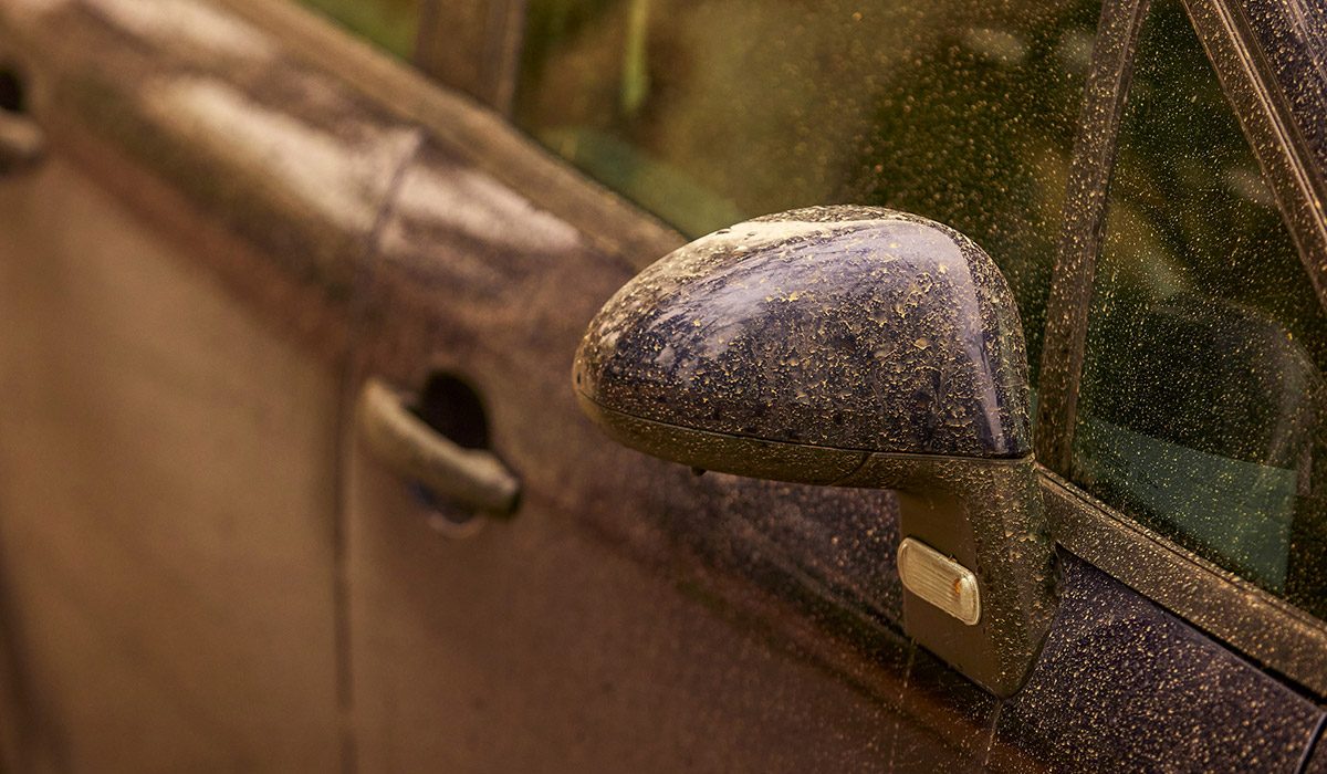
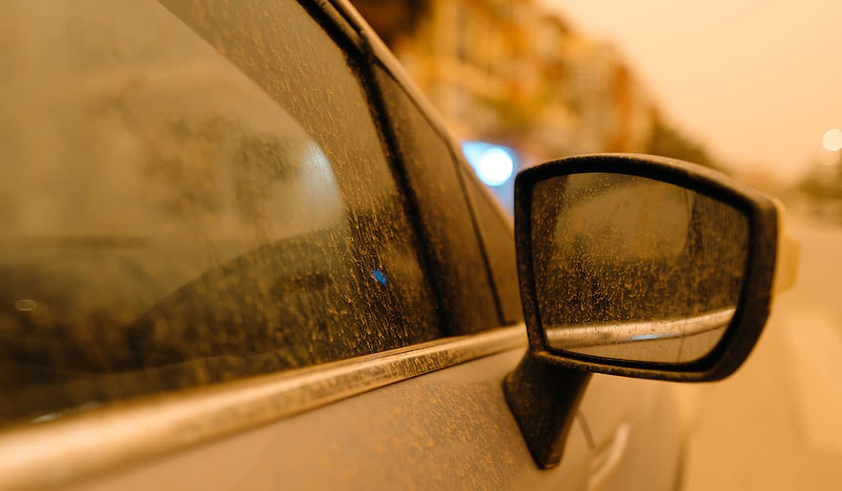
The country could be hit by ‘blood rain’ as a result of Saharan Dust coming our way.
While we’re technically in Spring, many of the conditions that would come with the season have been nowhere to be seen — with people still needing to break out the big coats that they’ve been longing to put away since at least St Stephen’s Day.
While the country has enjoyed a reprieve from the rain, which included sunny conditions and temperatures reaching highs of 17C, temperatures are set to drop once again to the single digits.

As well as this, Carlow Weather meteorologist Alan O’Reilly has warned that dust is set to travel up from the Sahara Desert toward Ireland as the week progresses.
As a result, the country could be in for a dusty weekend, and if it begins raining, we may see the ‘blood rain’ phenomenon — which will see dust particles fall with the rain, giving a ‘bloody’ look to the rain.
‘Saharan dust forecast shows the dust is forecast to reach Ireland towards end of week and some showers could bring some of that dust down to the surface,’ Mr O’Reilly wrote on Twitter (X), with a graph showing that the worst of the dust will fall on Friday and Saturday.
Looking to the weather for the rest of the week, Met Éireann has said that we’ll be experiencing a mixed bag, weather-wise — with dry conditions set to be scuppered by showers, some of which will be heavy.
Wednesday will be largely dry with cloudy conditions giving way to hazy sunshine spreading from the west throughout the afternoon. Cloud will build from the Atlantic, with rain and drizzle hitting western coastal countries before nightfall. Highest temperatures of 11C to 17C.
Cloud will continue to thicken on Wednesday night with outbreaks of rain and drizzle developing in Atlantic coastal counties, spreading eastwards overnight. Clear spells will follow alongside scattered showers, with lowest temperatures of 3C to 7C.
Saharan dust forecast shows the dust is forecast to reach Ireland towards end of week and some showers could bring some of that dust down to the surface. pic.twitter.com/6sIZUNOFbo
— Carlow Weather (@CarlowWeather) April 7, 2026
Lingering rain and drizzle will clear into the Irish Sea on Thursday morning, before making way for sunny spells and scattered, blustery showers — some of which will be heavy with a chance of hail and thunder. It will also be cooler, with highs of just 7C to 10C.
Thursday night will be mainly dry for a time, with any remaining showers in the north and northeast soon clearing. Cloud will start building from the west, however, with rain and drizzle pushing in from the Atlantic. Lowest temperatures of just 1C to 6C.
Friday will be wet and windy, with gales on western and northern coasts alongside heavy, squally bursts of rain being possible. Highest temperatures of 7C to 10C. The rain will clear on Friday night, becoming dry and clear in many parts overnight.
Saturday will kick off crisp and sunny in the east, which will then give way to scattered, blustery showers spreading from the west. Some of the showers will be heavy, with a chance of hail and thunder — with wintry conditions also possible on higher ground in the west. Highest temperatures of 8C to 11C.