Waterford is under an 18-hour Status Yellow rainfall warning as February begins with cold and wet conditions across the south-east.
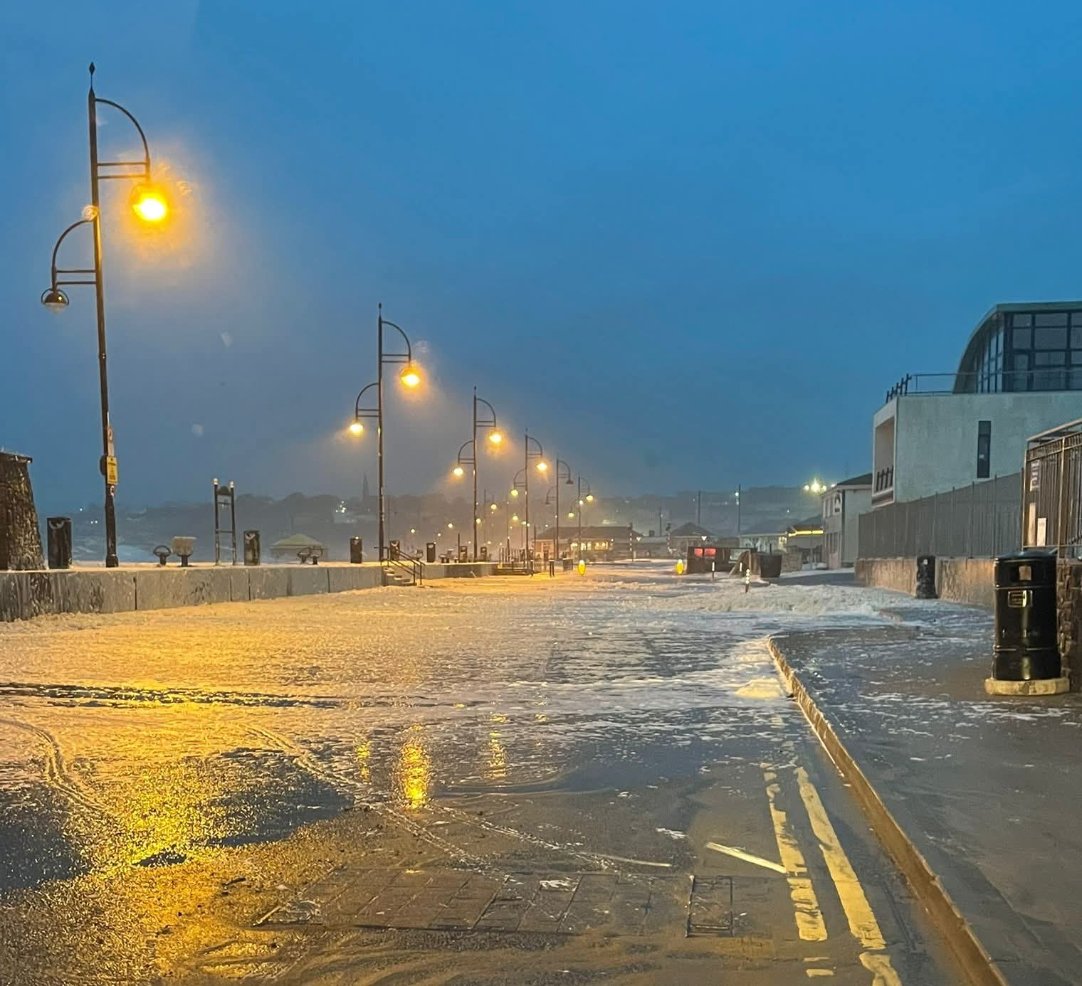
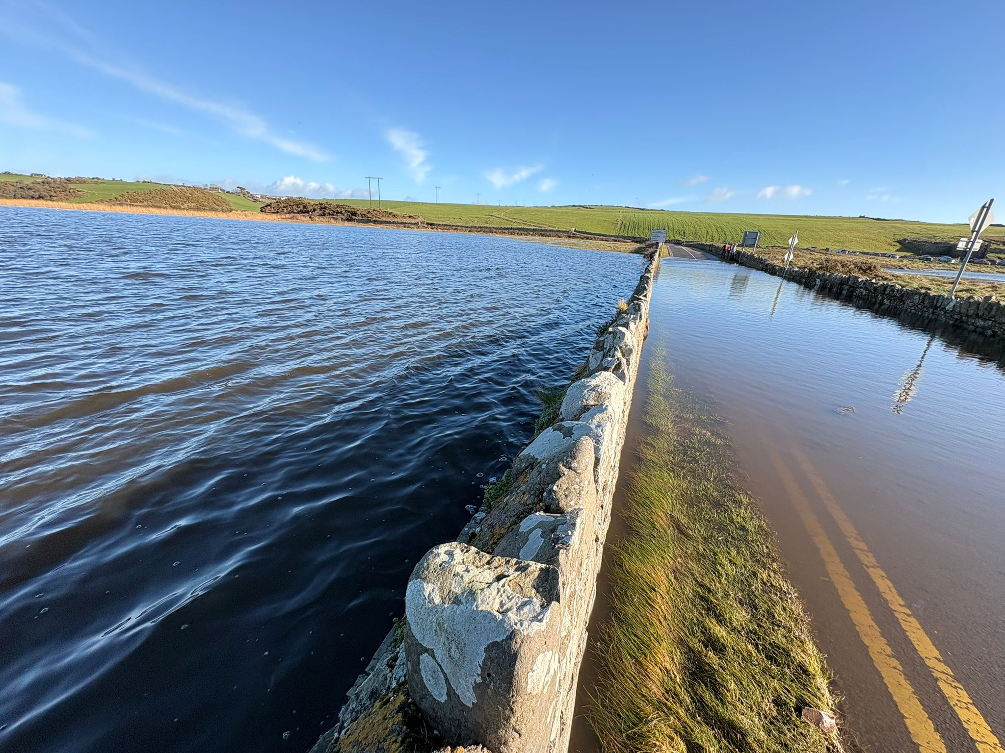
Met Éireann has issued the warning from 6 pm this evening until 12 pm on Tuesday. The alert also covers Carlow, Kilkenny, Wexford, and Cork. Forecasters warn that heavy rain on saturated ground could cause localised flooding. High river levels and tides increase the risk further.
Residents in Waterford should stay alert, especially in low-lying and coastal areas. Surface water flooding and river overflow remain likely. Drivers should take extra care on roads, particularly overnight and during the Tuesday morning commute.
Weather analyst Alan O’Reilly said rainfall totals may be lower than first expected. However, parts of the south and east coast, including Waterford, could still see more than 20mm of rain.
He said the cloud will increase after an icy start. Rain will move into the south later today. While models have eased slightly, significant rainfall remains likely near the coast.
Met Éireann says Monday night will bring heavy rain to Munster. Flood risk will remain high due to already swollen rivers. Temperatures will drop to between 3 and 7 degrees, with fresh easterly winds.
Unsettled conditions will continue through the week. Low-pressure systems will bring further rain and showers.
Waterford County Council urges the public to monitor conditions and follow safety advice as the weather system moves through.
For the latest Waterford News and Sport, tune into WLR News on the hour and download the WLR App for news on demand.