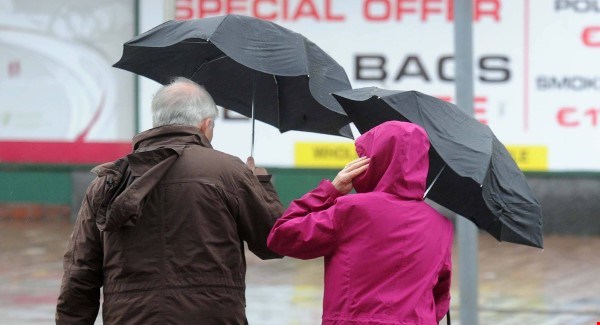
Strong winds and some power outages are expected as Storm Hannah hits the country later.
A status orange warning will be in place in Waterford and Tipperary from 10 tonight and in Clare, Cork, Kerry and Limerick from 4pm.
The storm’s due to bring gusts of up to 130 kilometres an hour to those counties.
A Status Yellow Wind Warning will also come into effect from 11pm for counties in the south-east.
Met Eireann says “Southerly winds will veer northwesterly and reach mean speeds of 50-65km/h with gusts of 90 to 110 km/h.”
The status orange warning is in place from Friday, April 26 at 4pm until Saturday, April 27 at 5am.
The yellow warning will be in place from 11pm on Friday night until 9am on Saturday.

“It does look at the moment like it could be quite severe in the south-west,” said forecaster Matthew Martin
“It has been a fairly quiet storm season over-all so [Storm Hannah] could well pack a punch, especially with the trees in full bloom at the moment.”
Met Éireann says that the warnings for Storm Hannah will “be under constant review and will be amended if required”.
It says that “some disruption and power outages likely” and people living in or travelling to the south-west should be “be prepared for the anticipated conditions”.
It added that there is “an increased threat of tree damage and possible felling”. Met Éireann is also warning of “dangerous waves expected to crash into southwest coasts”.

It said the last of the heavy rain “will clear the north and east during Saturday morning and winds will abate”.
Despite this, it said some brisk winds will persist into the afternoon with “a mix of sunshine and scattered showers following”.
Met Éireann says that Sunday will see a return to warmer weather but there will be patchy rain or drizzle.
It said: “Sunday will be mild and mostly cloudy with patchy rain or drizzle in many areas. Amounts will be small.
“Highest temperatures of 12 to 16 degrees with moderate southerly breezes.”