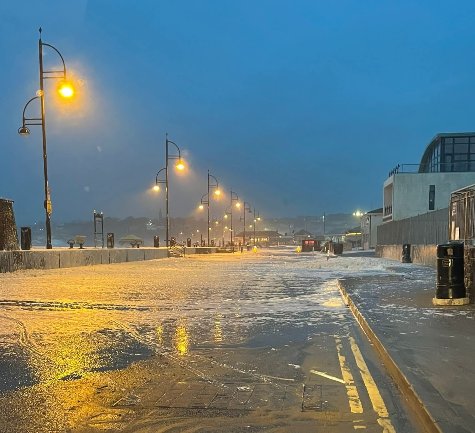
Cold snap expected this week with temperatures dropping to -3

Icy conditions are expected later this week.
Temperatures are forecast to dip below freezing with an arctic blast reported to be tracking towards Ireland.
Cold and crisp conditions are due on Friday and Saturday, with temperatures of -2 and -3 degrees forecast.
Tuesday will be a dull day with rain and drizzle moving northeastwards across the country through the morning and afternoon, along with some mist and fog patches.
Drier conditions will follow from the southwest for a time, ahead of scattered showers or further spells of rain. Highest temperatures of 6 to 12 degrees, mildest in the southwest, with light to moderate variable winds.
A dull day with rain & drizzle moving NEwards across the country through the morning & afternoon, along with some mist/fog patches ?️
Drier conditions will follow from the SW for a time, ahead of scattered showers/further spells of rain. Highs of 6-12°C, mildest in the SW ?️ pic.twitter.com/vV6AUUcs0K — Met Éireann (@MetEireann) February 10, 2026