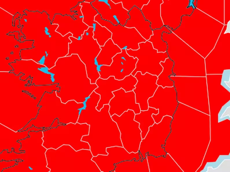
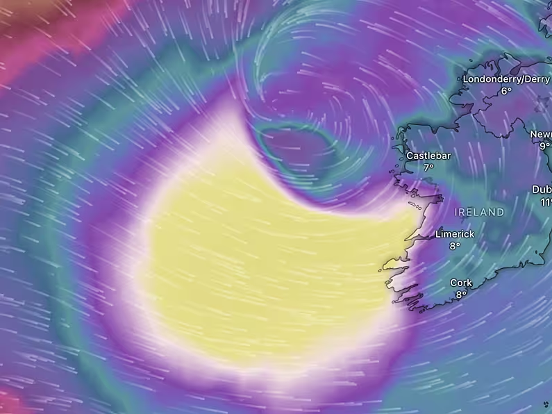
Super Typhoon Hagibis remains on course to affect England’s Rugby World Cup meeting with France in Tokyo on Saturday, but to what extent remains uncertain.
The 170mph storm was around 900 miles south of Tokyo on Wednesday and is expected to make landfall in southern Japan by Saturday, which could impact on the Pool C fixture in Yokohama.
Scotland are set to play hosts Japan, also at Yokohama’s International Stadium, in Pool A on Sunday
.

Ireland’s Pool A game against Samoa on Saturday and Wales’ Pool D clash with Uruguay on Sunday are on the other side of Japan – in Fukuoka and Kumamoto, respectively – so most likely out of the storm’s main path.
The Japanese Grand Prix at Suzuka, however, could be affected. Formula One’s ruling body the FIA is monitoring the situation.
World Rugby is expected to announce on Thursday whether any matches must be cancelled due to the storm.
#Hagibis remains a powerful typhoon with intensity equivalent to a category 5 hurricane. The most likely forecast track brings the eye ashore in the #Tokyo region close to midday UK time on Saturday. pic.twitter.com/TMsNwNneDR
— Met Office Storms (@metofficestorms) October 9, 2019
Hagibis has escalated from a tropical storm into a Category 5 super typhoon, with winds reaching 180mph in one of the most dramatic intensifications of any tropical cyclone since records began.
It is many times the dimensions of Typhoon Faxai, which brought Tokyo to a standstill for the day of England’s arrival for the World Cup, delaying their exit from Narita Airport by six hours, killing three people and leaving a million homes without power.
What strength those wind speeds will be once it makes landfall this weekend and the impact of any flooding or tidal surge remains to be seen.
A Met Office spokesperson told the PA news agency: “The overall story remains the same. Typhoon Hagibis in the western North Pacific is on track towards Japan this weekend.
“As of Wednesday morning, it was located around 900 miles south of Tokyo with estimated wind speeds of around 120mph and gusts of 170mph.
“Obviously as Hagibis moves towards Japan it is going to weaken and those wind speeds will fall.
“We are expecting that Hagibis is likely to make landfall on Saturday, not too far from Tokyo.
“By that stage, it will have weakened significantly, but with sustained wind strengths still of around 90mph and with gusts of up to 135mph. Along with the strong winds, we are expecting very heavy rain along its path.

Eddie Jones’ side’s arrival in Japan was hit by Typhoon Faxai (David Davies/PA)
“Obviously with those very strong and severe winds, with heavy rain, there is likelihood of significant impact from the damaging winds and also from storm surge.
“With the winds and large waves, there is the risk of flash flooding as well in the Tokyo region.”
The Met Office spokesperson added: “While the location and extent of impact are still rather uncertain, there is an increasing likelihood Hagibis will affect southern Japan.”
Our primary concern driving decision making over the coming days will be around ensuring the safety of fans, teams, officials and workforce. We will continue to provide further information on this matter, on a regular basis, as it becomes available.
— Rugby World Cup 2019™ Fan Information (@Japan2019_ENG) October 8, 2019
Any World Cup matches cancelled due to weather problems are registered as scoreless draws and would have no impact on the final standings for England and France as both have already qualified for the knockout stage.
However, should the match in Yokohama be called off, it would leave England heading into the quarter-finals without having played for a fortnight.
England defence coach John Mitchell said: “One thing we really pride ourselves on is being adaptable and flexible for anything that may throw us off.
“If there are other factors that are outside our control, then we’ll find another way to prepare very well.”


