
Over one month’s worth of rain is expected to fall in the Dungarvan area today.
The entirety of County Waterford is subject to a Status Orange Rain Warning from Met Éireann.
Cathal Nolan from Ireland’s Weather Channel says the latest models show up to 110mm of rain could fall in parts of West Waterford. The average monthly rainfall for September normally stands at 85mm.
“My main area of concern certainly is for in and around the Comeragh Mountains”, said Nolan.
“The latest models, certainly so for the last 24-36hrs, they have indicated that we could see up to 100-110mm of rain falling on the Comeragh Mountains. Given that we have seen some heavy rain as well in that area over recent days as well, that could well lead to the risk of river flooding in places.”
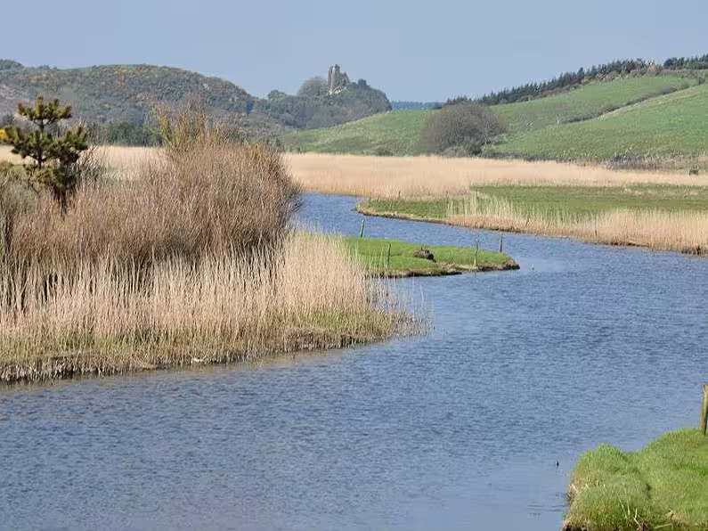
Nolan says both the Mahon River and Colligan River are subject to significant flood risk today.
“I’m particularly thinking about the Mahon River and the Colligan River, which flows through Dungarvan. Dungarvan is an interesting area to focus on, because what we are seeing as this area of low pressure comes in - is that it is staying to the south. Strong easterly winds will be pushing water, especially around the high tide times, up towards the Colligan Bay towards the Colligan River”, Nolan outlined.
“Given that we have 100+ millimetres of rainfall coming down out of the Comeragh Mountains, it means that here is a prime area for significant flooding. We’re talking about a month’s worth of rain falling in no more than the space of about 12 hours. Generally speaking if we go by the weather warning criteria that’s put out by the national provider, that would be a localised red warning that I would be issuing for that given area. Quite extensive flooding is possible.”
High tides in Waterford come into effect at the following times today:
Dungarvan, Youghal & Ardmore: 4.35pm.
Tramore: 4.40pm.
Cheekpoint: 5.05pm.
Waterford: 5.20pm.
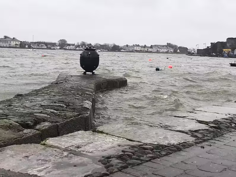
Surface water levels will be elevated in Waterford on Sunday due to high accumulations of rainfall over a 6 to 12-hour period. Impacts are likely to include localised flooding from urban and fast responding smaller watercourses/catchments, drains, channels and flooding from overland flow.
Waterford City and County Council’s severe weather management team met on Saturday morning and they are currently monitoring the situation. Ground crews are on stand-by to deal with any issues that may arise, such as localised flooding, blocked drains, gulley overflows, etc.
Waterford City and County Council advises the public to exercise caution, heed public safety advice and avoid unnecessary journeys as driving conditions may be hazardous, with surface water flooding expected.
Motorists are advised to avoid driving through flowing or standing water and are reminded to be conscious of vulnerable road users such as pedestrians and cyclists.
Members of the public can contact Waterford City and County Council’s Customer Services Desk on 0818 10 20 20 and calls will be transferred to the Council’s emergency services number.
Please note the following emergency contact numbers below:
Emergency 999/112
Uisce Éireann 1800 278 278
ESB Networks 1800 372 999
Gas Networks Ireland 1800 205 050